Log in
All resources
Create a design
42,842 Free Images of 1889 Maps
maps made in the 17th century
maps from the mechanical curator collection
maps from the mechanical curator collection available to georeference
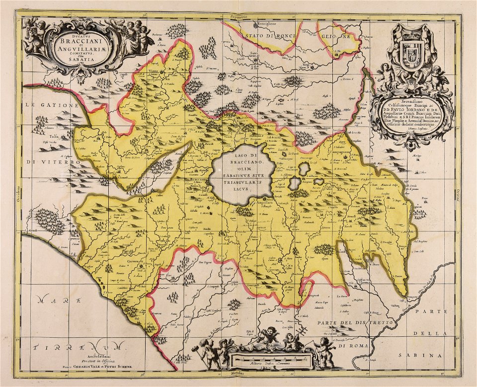
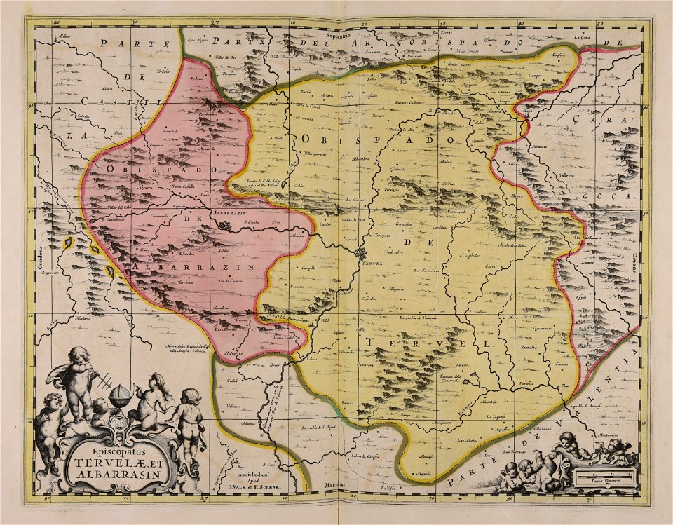
gerard valck
maps by pieter schenk (i)
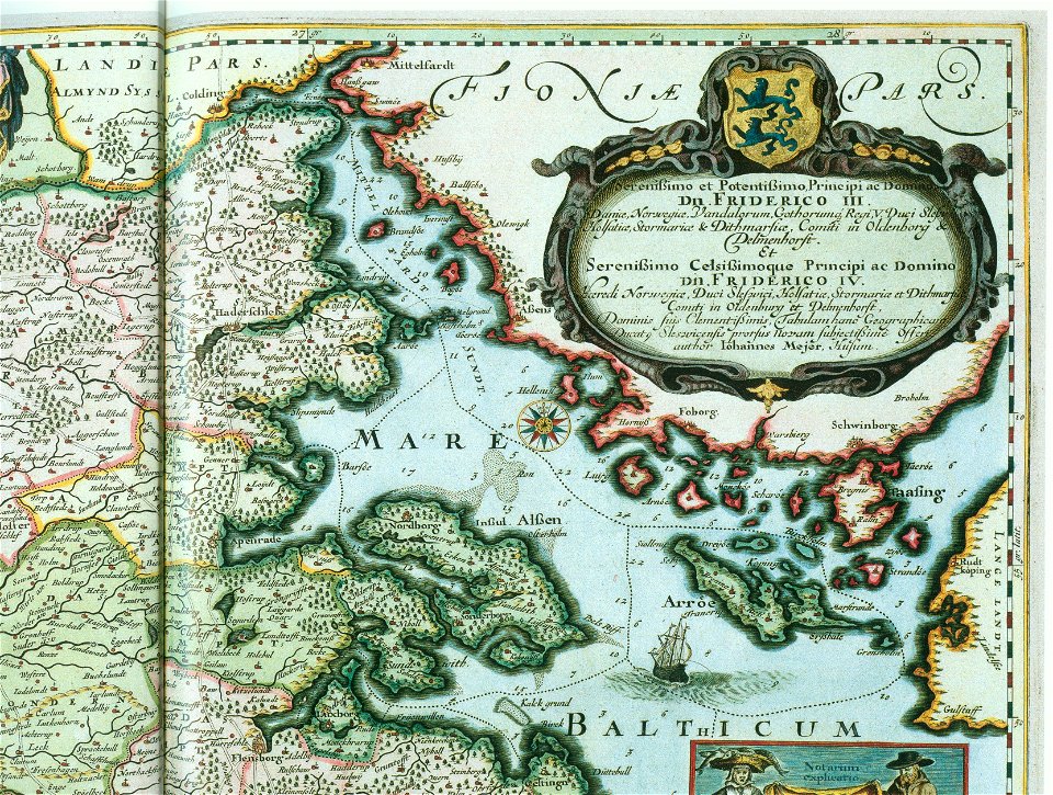
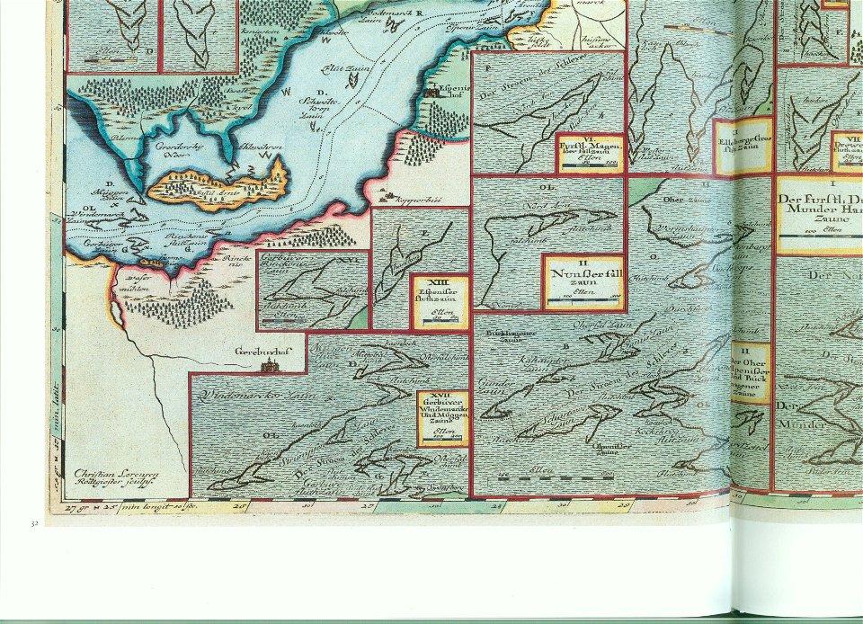
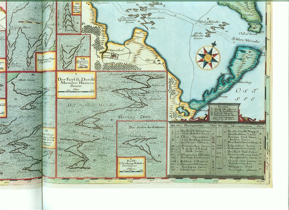
maps by johannes mejer
atlantis magni tomus quartus (biblioteca comunale di trento)
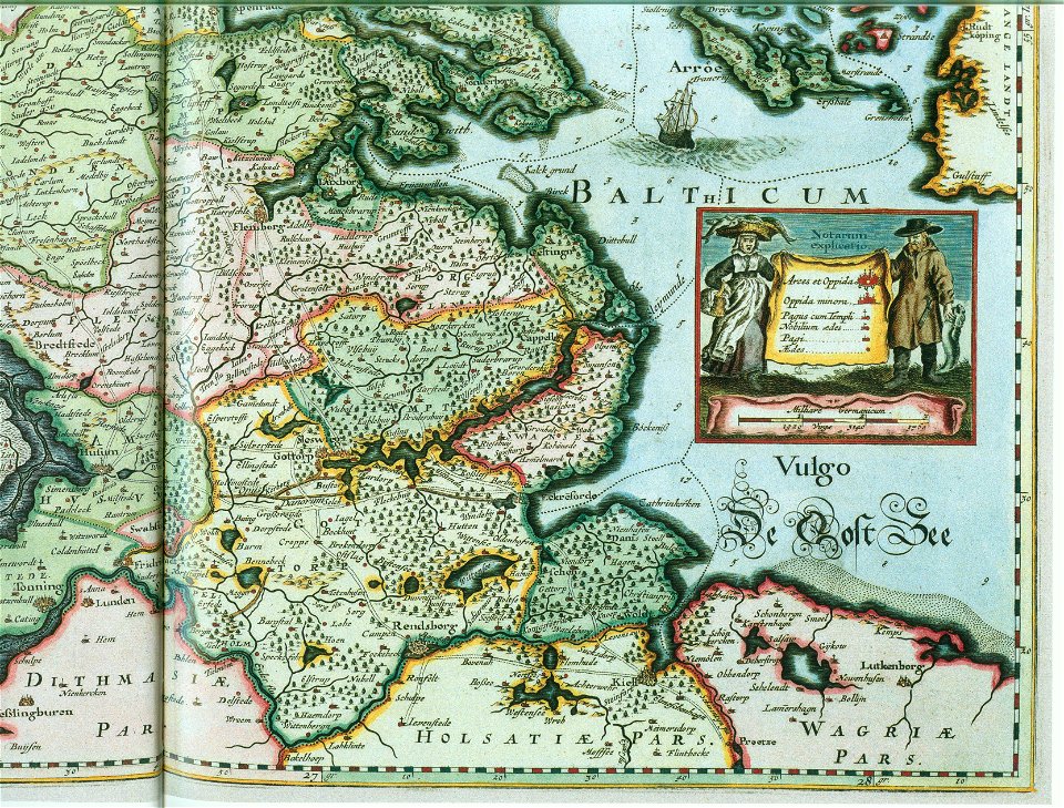
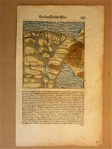
schlei
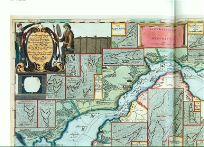
accuratissima sliae fluminis descriptio
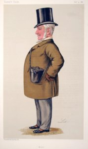
list of vanity fair (british magazine) caricatures (1885–1889)
landtcarte von dem fürstenthumbe stormarn
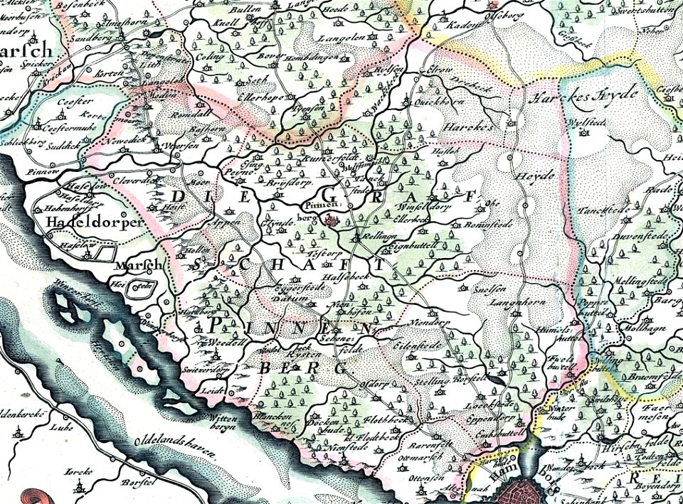
maps of kreis pinneberg
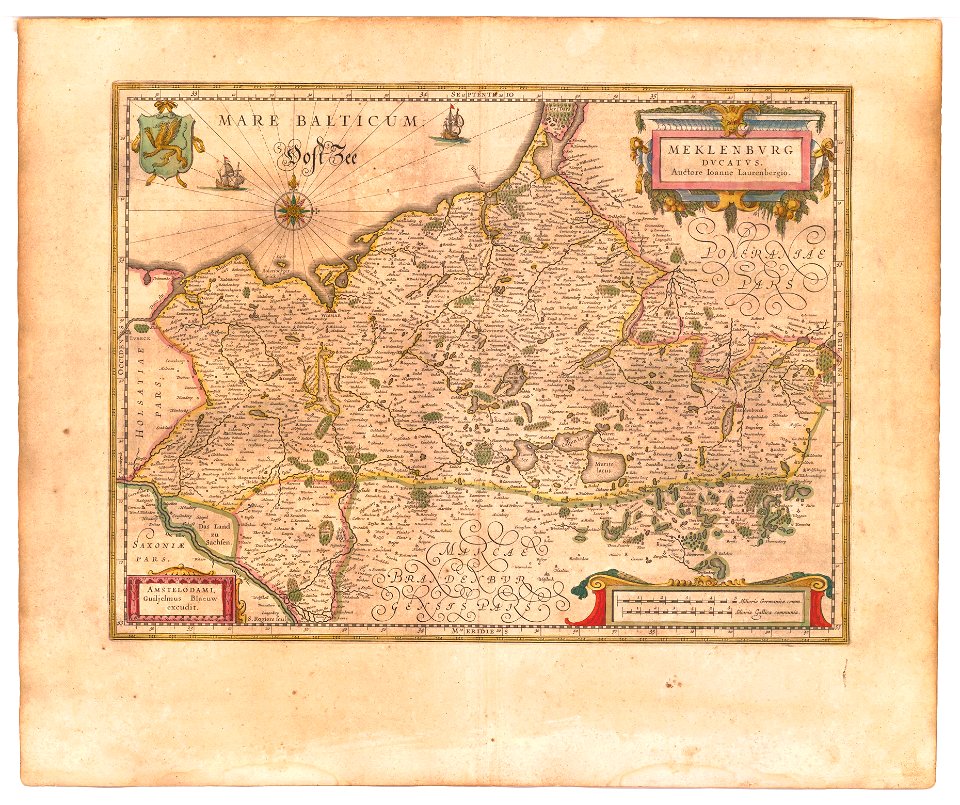
old maps of mecklenburg
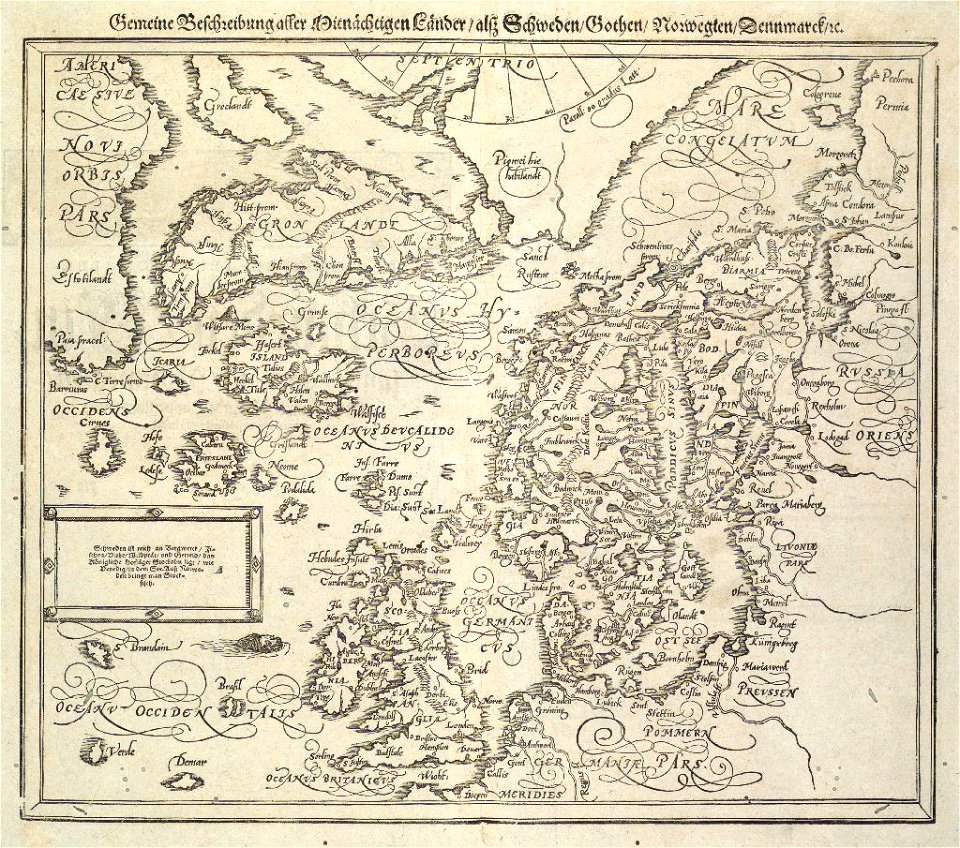
atlas novus (blaeu)
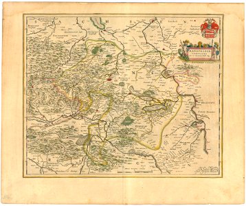
history of mansfeld land
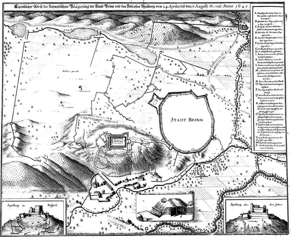
1645 maps
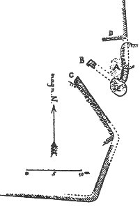
plans of castles in lower saxony
1890s maps
lepsius-projekt - pyramids
lepsius-projekt - maps
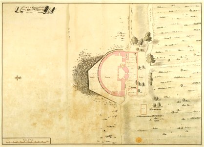
maps and plans of the device forts
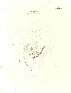
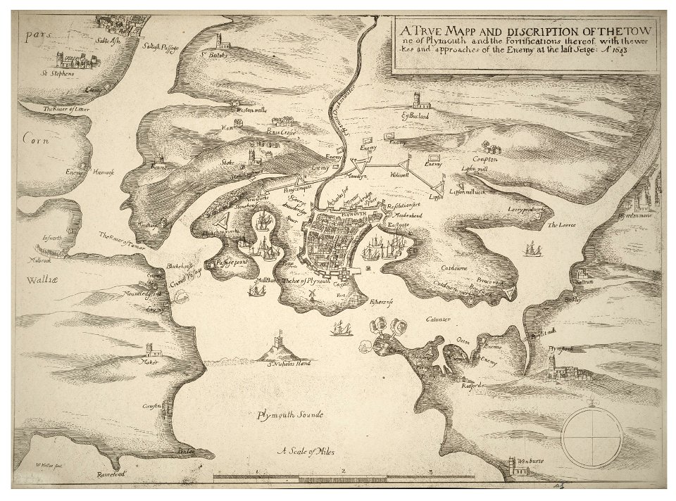
cowes castle
il devotissimo viaggio di gerusalemme fatto
maps of zakynthos
1846 in switzerland
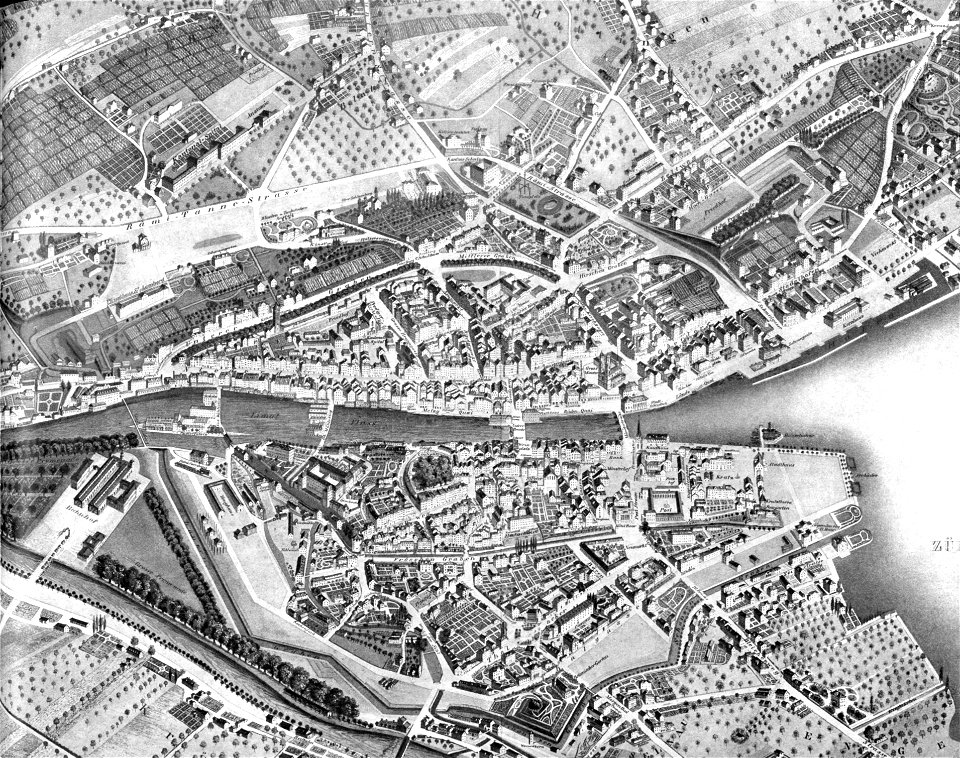
old maps of zürich
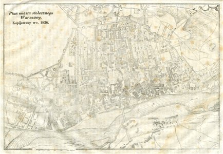
warsaw in the 19th century
historical maps of warsaw
itinerarium hierosolymitanum et syriacum..., 1619
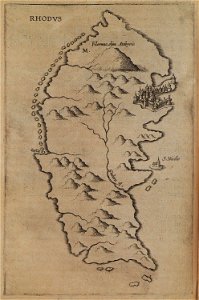
old maps of rhodes
provided by landsbókasafn íslands
16th-century maps of iceland
provided by landsbókasafn íslands
maps by giovanni antonio magini
provided by landsbókasafn íslands
16th-century maps of iceland
maps by johannes mejer
schlei
ducatus sleswicum sive justia australis
maps by johannes mejer
maps by johannes mejer
schlei
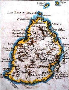
old maps of mauritius
robert surcouf
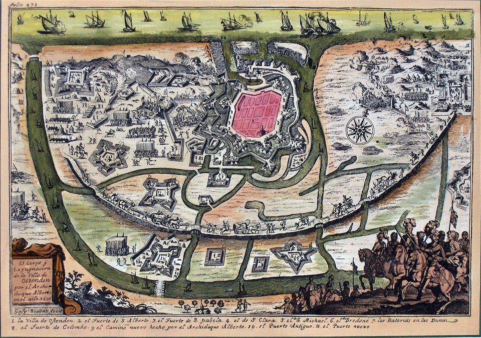
siege of ostend
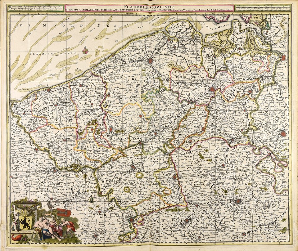
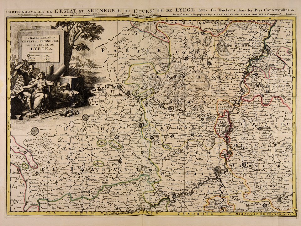
low country
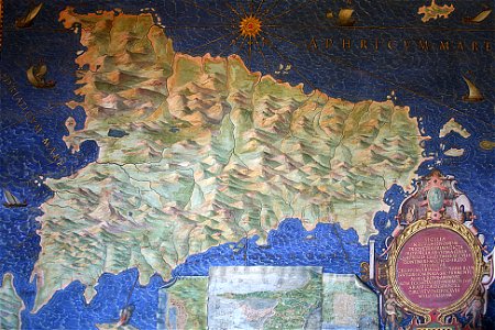
sicilia (galleria delle carte geografiche)
old maps of sicily
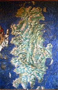
sardinia (galleria delle carte geografiche)
old maps of sardinia
old maps of bredevoort
pikemen
ducatus sleswicum sive justia australis
maps by johannes mejer
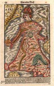
cosmographia (1600) by sebastian münster
1600s maps of egypt
ducatus sleswicum sive justia australis
maps by johannes mejer
maps by johannes mejer
schlei
maps by johannes mejer
schlei
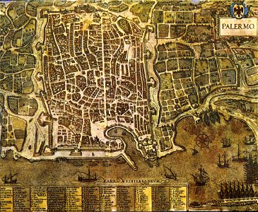
palermo
1581
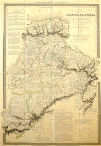
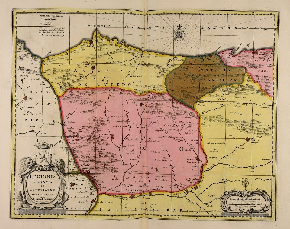
la rioja (spain) in the 19th century
cantabria in the 19th century
maps from the mechanical curator collection
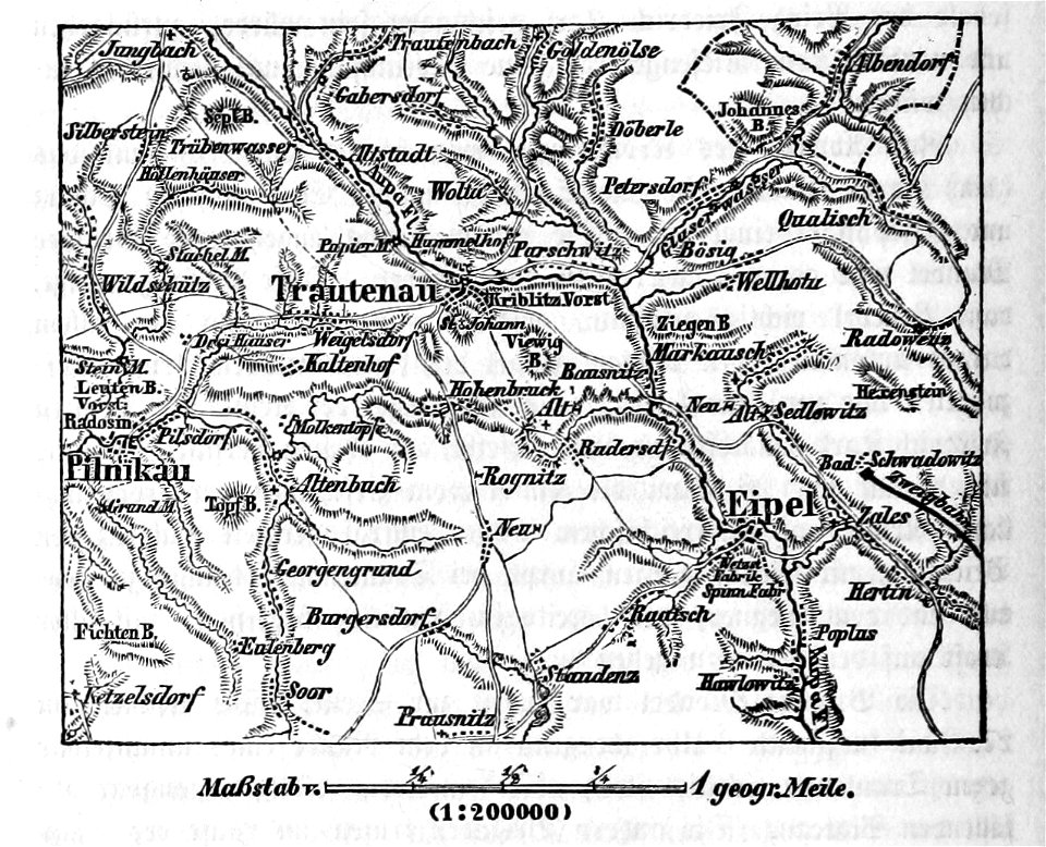
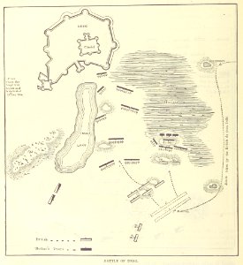
battle of trautenau
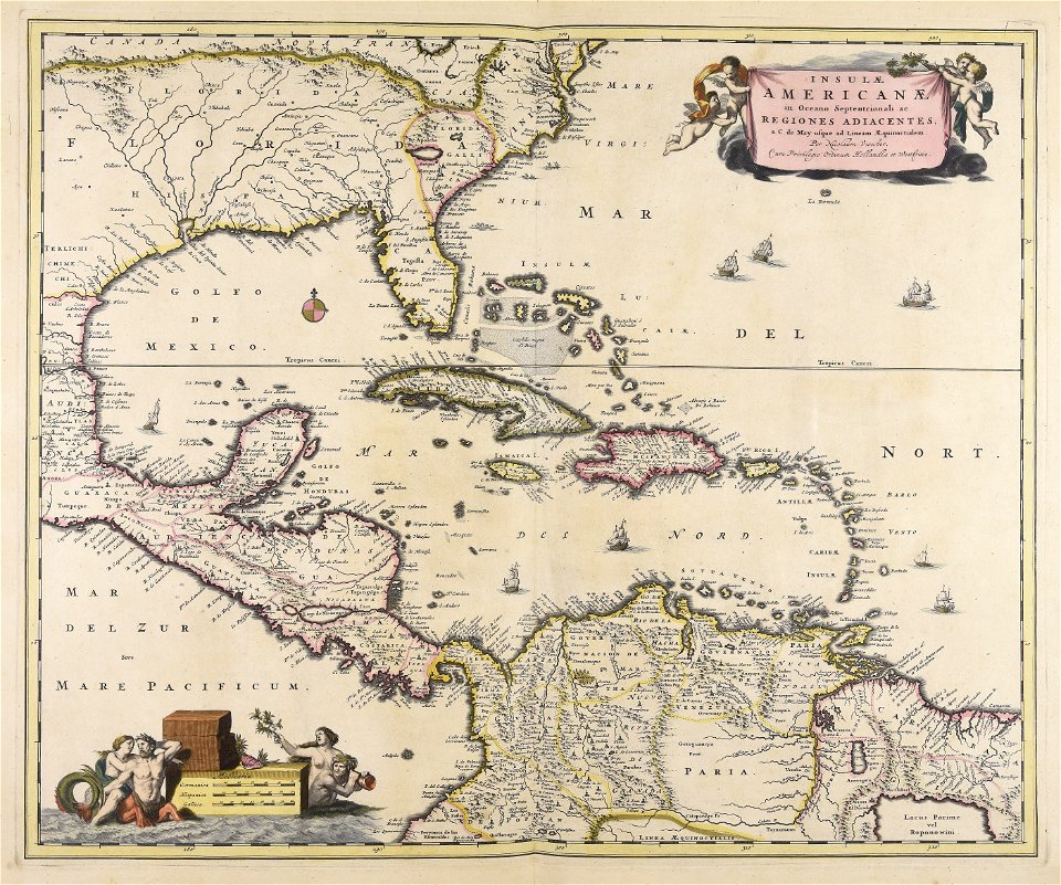
18th-century maps of hispaniola
1780 in the caribbean
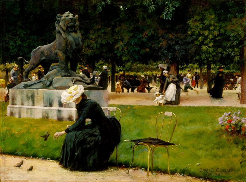
chairs in jardin du luxembourg
females with birds in art
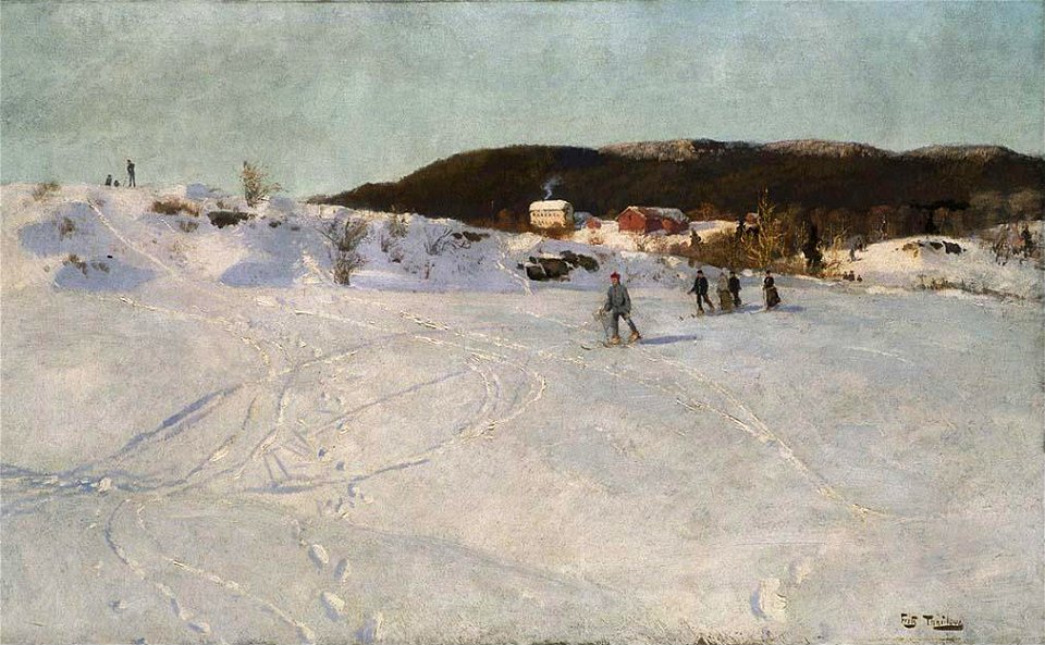
skiing in norway in art
paintings of oslo
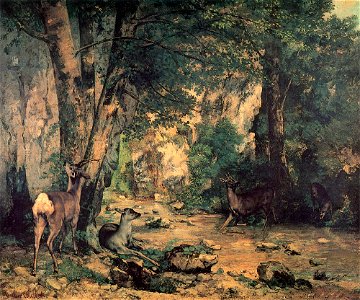
1860s paintings by gustave courbet
1867 paintings
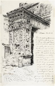
arco degli argentari in art
1889 drawings
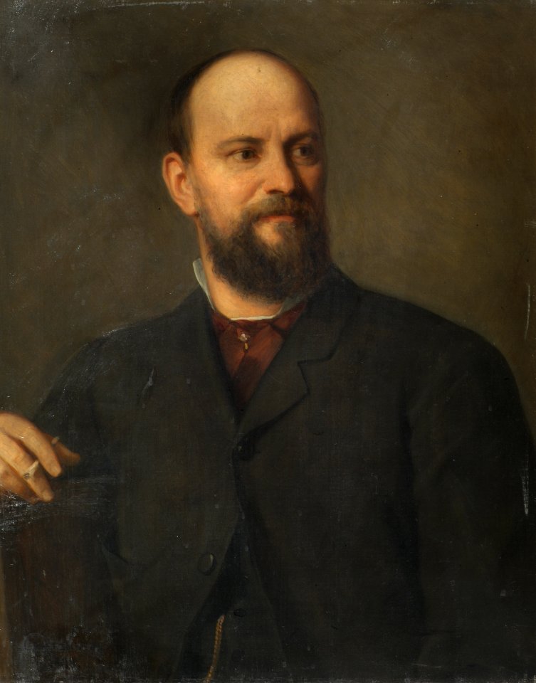
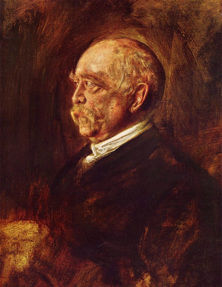
19th-century portrait paintings of painters
siegmund l’allemand
19th-century portrait paintings in germany
realist paintings in germany
1890 deaths
1820 births
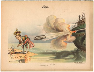
imperial
judge
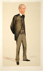
caricatures by leslie ward in vanity fair
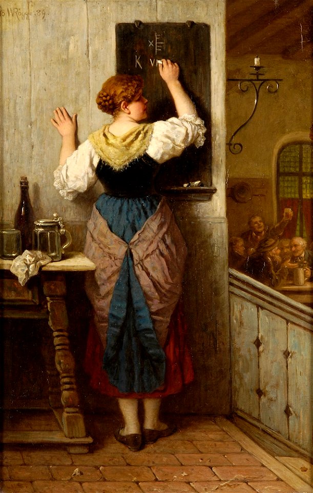
history of schools
writing in art
german empire
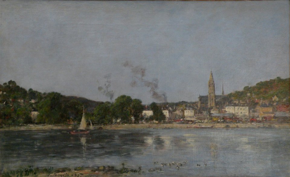
paintings in seine-maritime
1889 paintings
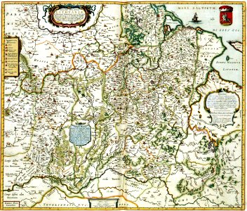
maps with cartouches
curonian
cartography
bohemia
maps in the library of congress
1889 maps of new york (state)
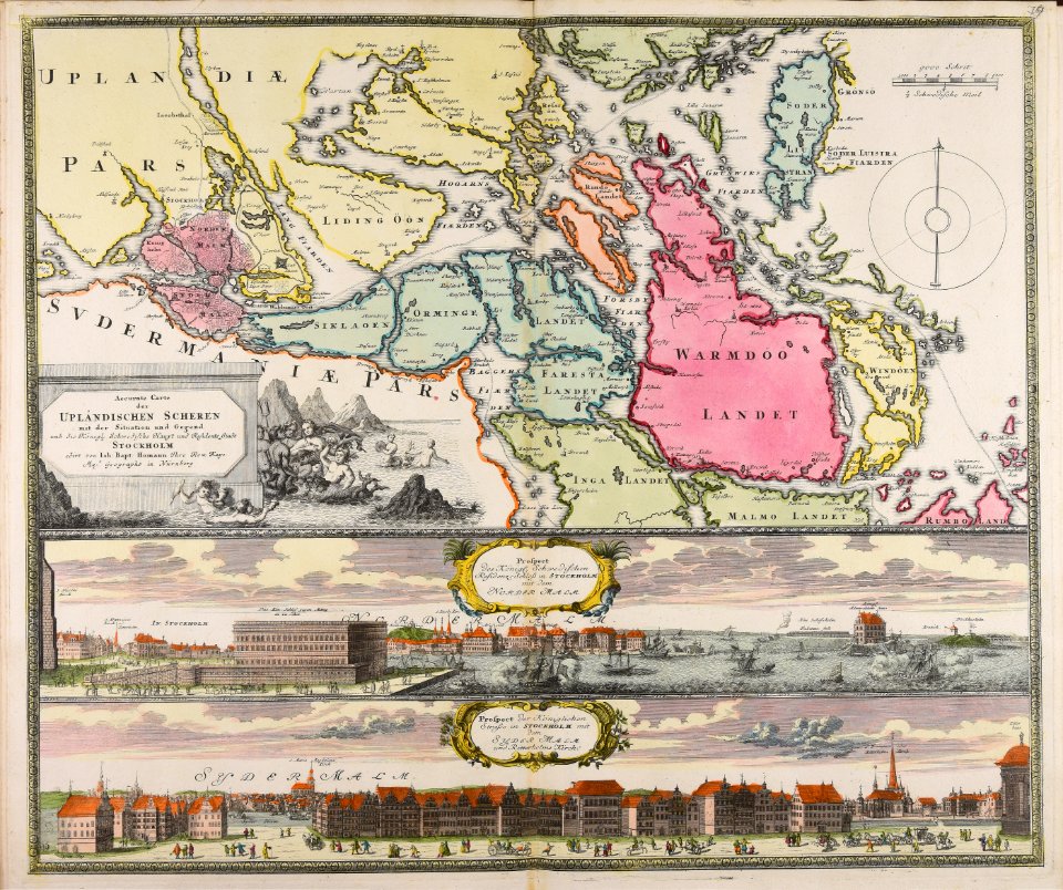
18th-century maps of stockholm
veduta
maps made in the 17th century
gerard valck
maps made in the 17th century
gerard valck
maps made in the 17th century
gerard valck
prints from the peace palace library
utrecht in the 18th century
collections de la bibliothèque nationale et universitaire de strasbourg
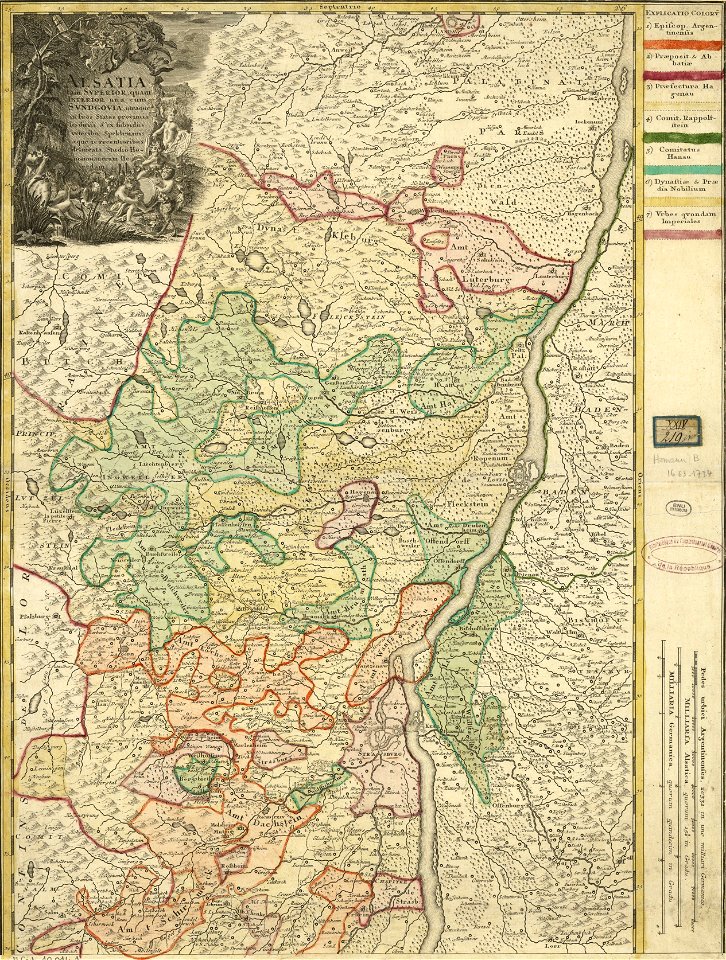
johann baptist homann
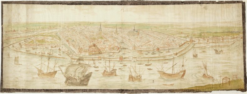
drawings in the stadsarchief amsterdam
anthonis van den wijngaerde
atlantis magni tomus tertius (biblioteca comunale di trento)
maps made in the 17th century
maps made in the 17th century
gerard valck
maps made in the 17th century
gerard valck
maps from the mechanical curator collection
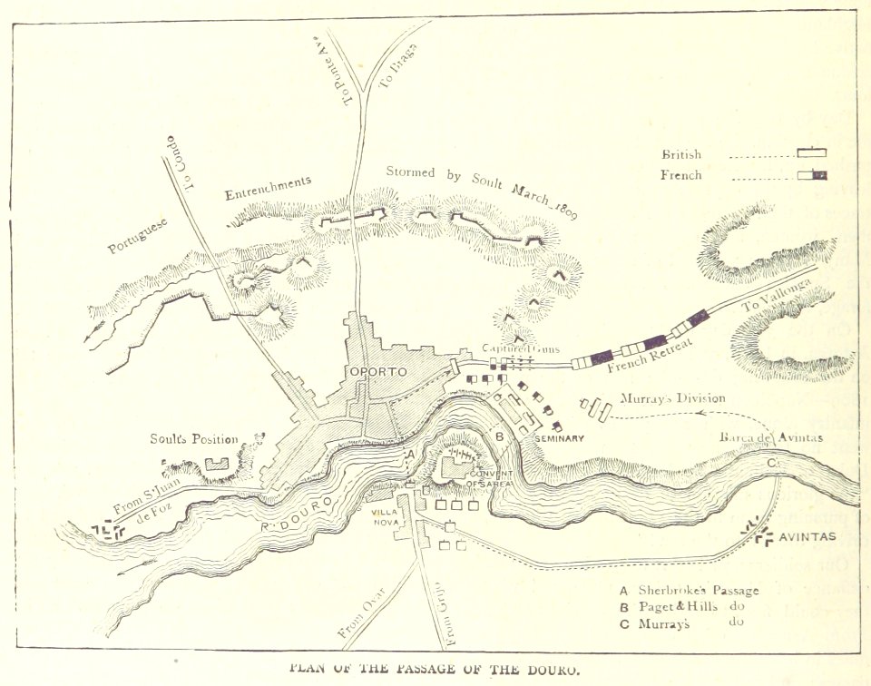
british battles on land and sea
maps from the mechanical curator collection
british battles on land and sea
engravings of theatrum europaeum
1645 maps
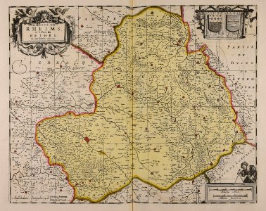
17th-century maps of france
maps with cartouches
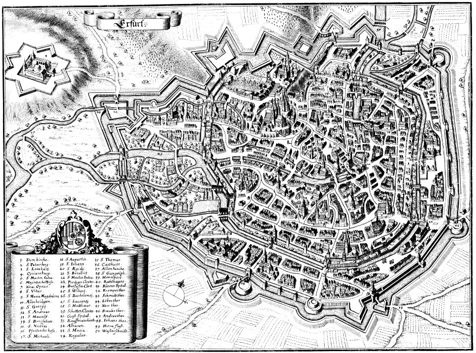
maps of erfurt
erfurt
university of toronto wenceslas hollar digital collection
english civil war
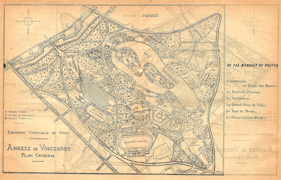
illustrations du catalogue remboursable de l'expo 1900
maps of the exposition universelle (1900)
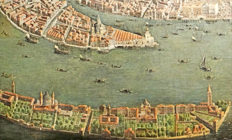
paintings of san giorgio maggiore (venice)
17th-century paintings from italy
maps made in the 17th century
nicolaes visscher ii
maps made in the 17th century
nicolaes visscher ii
maps made in the 17th century
gerard valck
maps made in the 17th century
gerard valck
collections de la bibliothèque nationale et universitaire de strasbourg
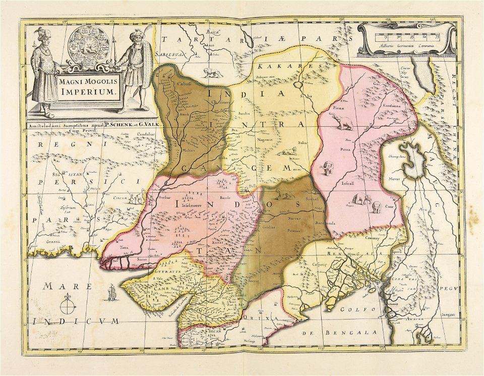
old maps of asia
mannheim in the 17th century
maps of mannheim
maps made in the 18th century
johann baptist homann
maps from the mechanical curator collection
british battles on land and sea
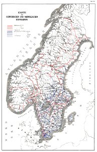
history of rail transport in norway
rail transport maps of norway
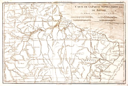
1780 in brazil
1780 maps
maps made in the 18th century
johann baptist homann
maps made in the 17th century
gerard valck
maps of waterways in the netherlands
collections of stadsarchief delft
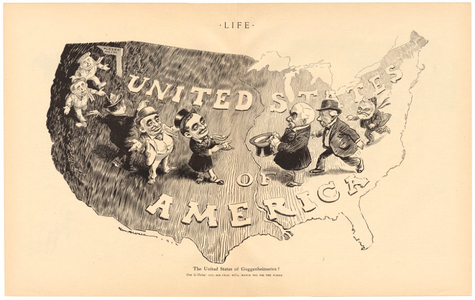
life
1912
university of toronto wenceslas hollar digital collection
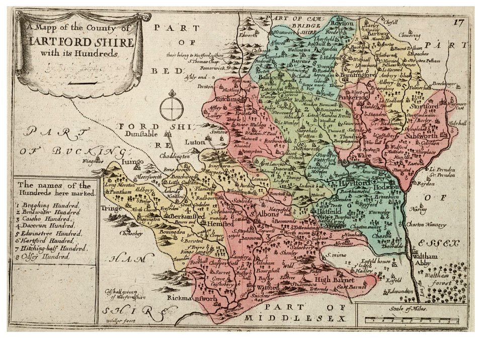
old county maps of sussex
university of toronto wenceslas hollar digital collection
history of watford
university of toronto wenceslas hollar digital collection
old county maps of cheshire
academic art,orientalism,japonisme,naturalism
1889 oil on canvas paintings
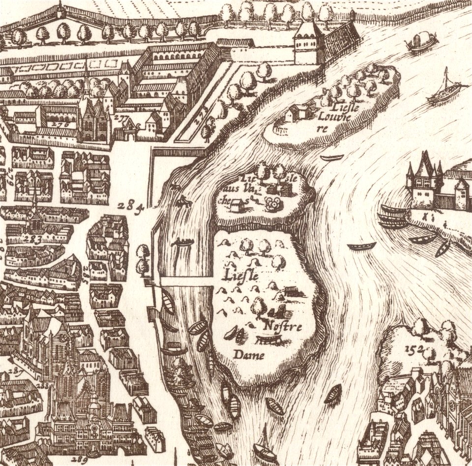
old maps of île de la cité
île saint-louis
coats of arms of blois
henry
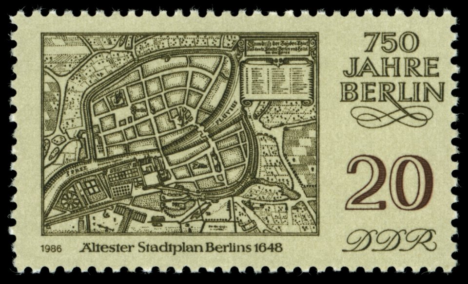
maps of the history of berlin
17th-century maps of berlin
stained glass windows by luc-olivier merson
supper at emmaus on stained glass windows
1898 deaths
1820 births
artworks with known accession number
artworks without wikidata item
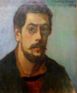
19th-century self-portrait paintings of men from france
19th-century oil portraits of men at bust length
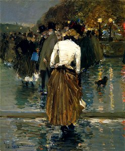
paintings of women by childe hassam
1889 paintings
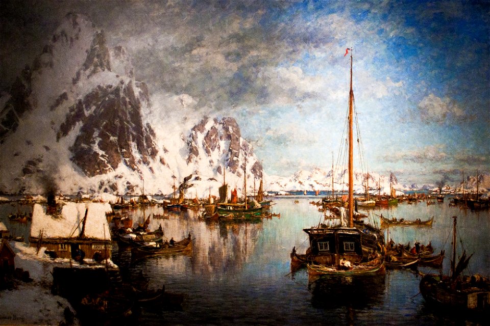
19th-century oil on canvas paintings in norway
paintings of mountains of norway
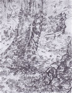
19th-century landscape drawings
pencil drawing
generals of the united kingdom
1817 births
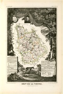
coats of arms of cities in vienne
frédéric-auguste laguillermie
maps made in the 17th century
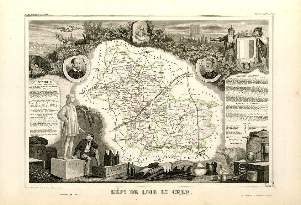
guillaume sanson
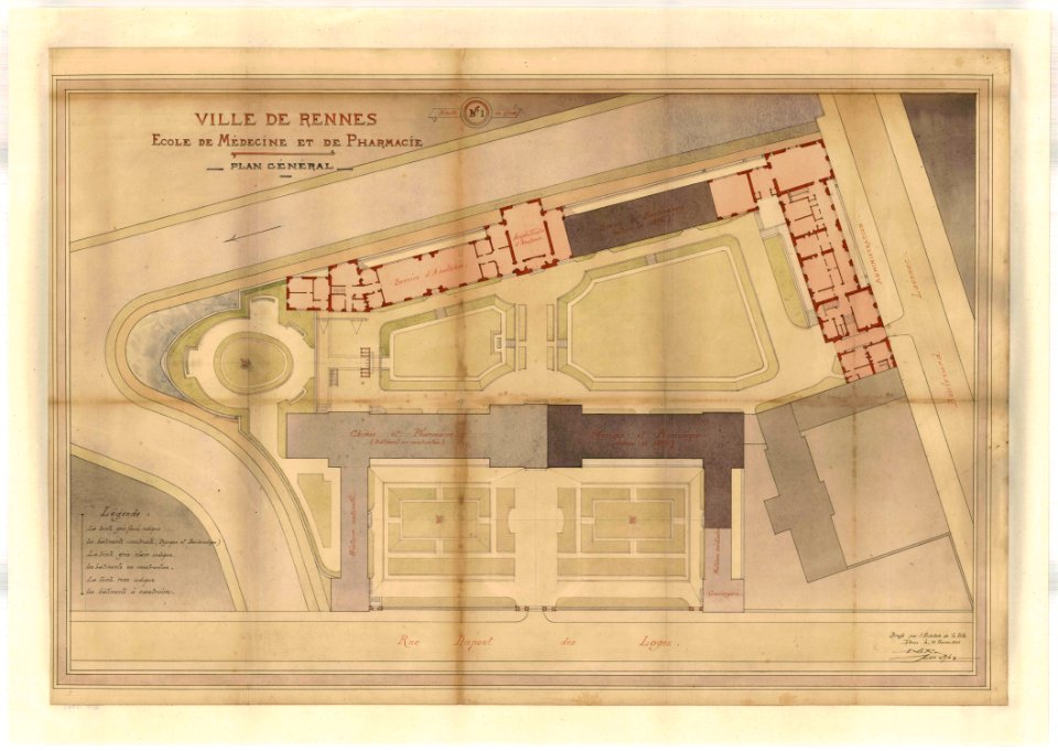
rennes in the 1900s
old maps of rennes
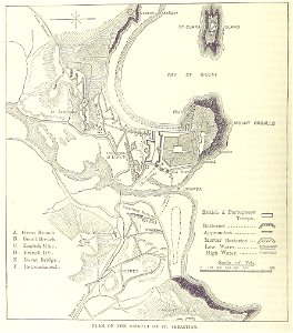
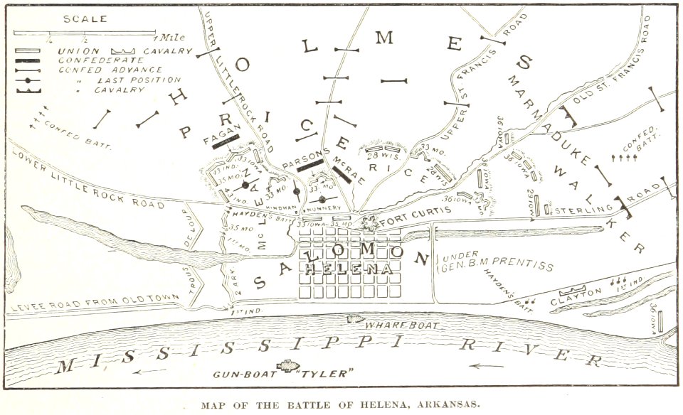
battles and leaders of the civil war (1887)
maps from the mechanical curator collection
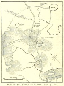
illustrated battles of the nineteenth century
1895 drawings
illustrated battles of the nineteenth century
1895 drawings
illustrated battles of the nineteenth century
1895 drawings
old maps of braunschweig
atlas van der hagen
carolus magnus in art
allegory
8901 - 9000 of 42,842
Next page
/ 429